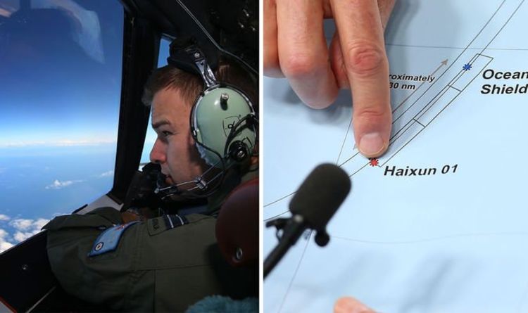
Malaysia Airlines flight 370 went missing on March 8, 2014, en route from Kuala Lumpur to Beijing with 239 people on board. It is still unknown where the plane actually went, but authorities have stated its presumed flight path was over the Indian Ocean and its wreckage is somewhere beneath the waves. This was based almost entirely from data collected by British telecommunications company Inmarsat.
Inmarsat had data from seven ‘handshakes’ – communications between MH370 and its satellite 3F1.
This data included Burst Timing Offset (BTO) and Burst Frequency Offset (BFO) values.
BTO is a measure of the time taken for a transmission round trip and can be used to calculate the distance between the satellite and the aircraft.
BFO is a measure of the relative motion of the satellite and the aeroplane.
READ MORE: MH370: Hijackers pulled ‘con artist’ trick to fool investigators
These two measures combined appear to indicate a flight path that curves over the Indian Ocean and stops over the sea west of Perth ... Read even more


